


Precinct 4 - Carson Valley Estates, Douglas County, Nevada
About
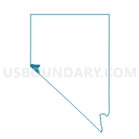
Outline

Summary
| Unique Area Identifier | 615272 |
| Name | Precinct 4 - Carson Valley Estates |
| County | Douglas County |
| State | Nevada |
| Area (square miles) | 0.32 |
| Land Area (square miles) | 0.32 |
| Water Area (square miles) | 0.00 |
| % of Land Area | 100.00 |
| % of Water Area | 0.00 |
| Latitude of the Internal Point | 38.93924510 |
| Longtitude of the Internal Point | -119.73910780 |
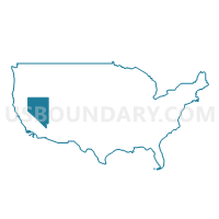
Maps

Graphs
Select a template below for downloading or customizing gragh for Precinct 4 - Carson Valley Estates, Douglas County, Nevada


Neighbors
Neighoring Voting District (by Name) Neighboring Voting District on the Map
- Precinct 2 - Fish Springs, Douglas County, NV
- Precinct 28 - Orchard Road, Douglas County, NV
- Precinct 3 - Gardnerville, Douglas County, NV
- Precinct 31 - Chichester, Douglas County, NV